GPS Documentation Services
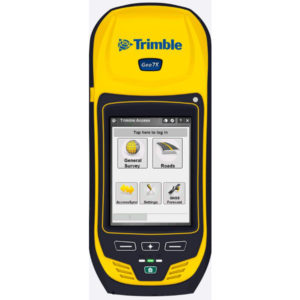
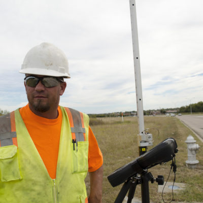
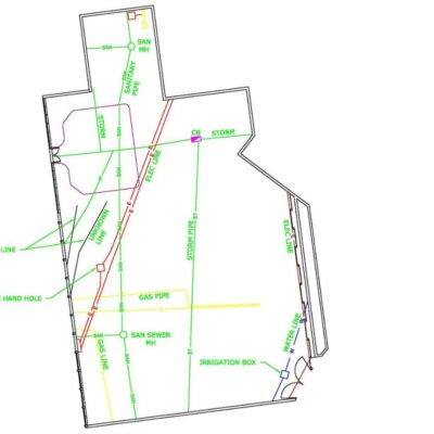
It’s one thing to have your sub-surface utilities and structures located and marked out, but what happens when the project starts and you lose the markings? CorBuilt can accurately locate and document those utilities and structures via GPS and update your base maps with reliable AutoCAD prints.


